How Lidar Mapping Is Transforming Land Surveys Today
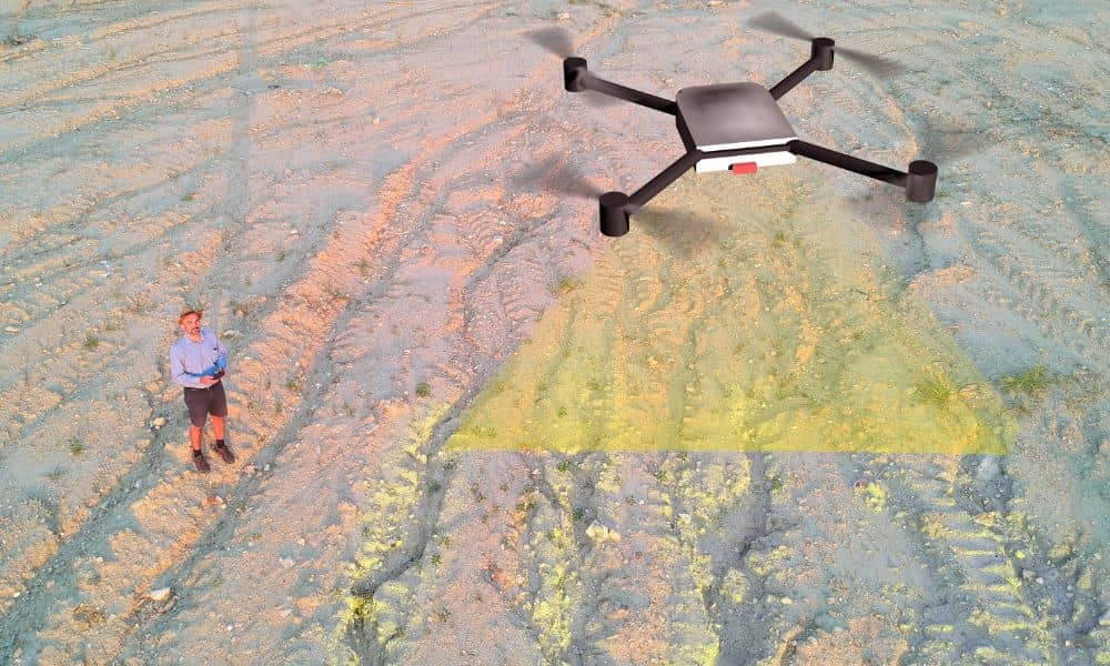
Lidar mapping is becoming one of the biggest changes in how the world measures land. A recent news story showed how a government overseas is now using high-resolution satellite images and Lidar data to update property lines and digitize land records. Even though this is happening outside the United States, the trend affects everyone, including […]