How LiDAR Mapping Is Changing Utility and Tree Surveys
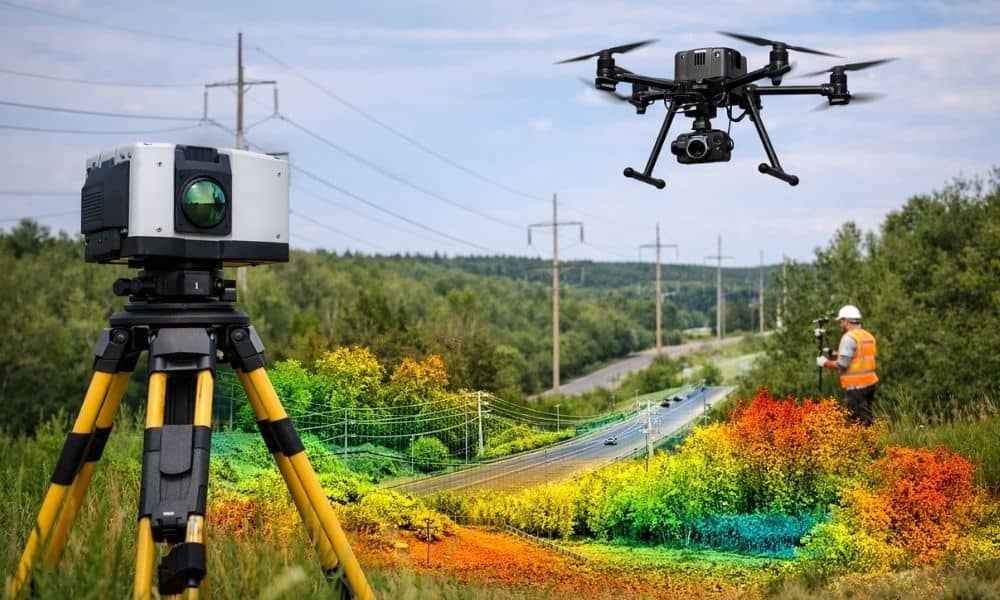
You’ve probably heard the term lidar mapping recently, but what does it really mean? And why is it starting to get so much attention in Nashville? In simple terms, lidar mapping uses lasers to create a very detailed view of the land. Think of it like taking a super-accurate 3D snapshot of the ground, trees, […]