How Lidar Mapping Is Transforming Land Surveys Today
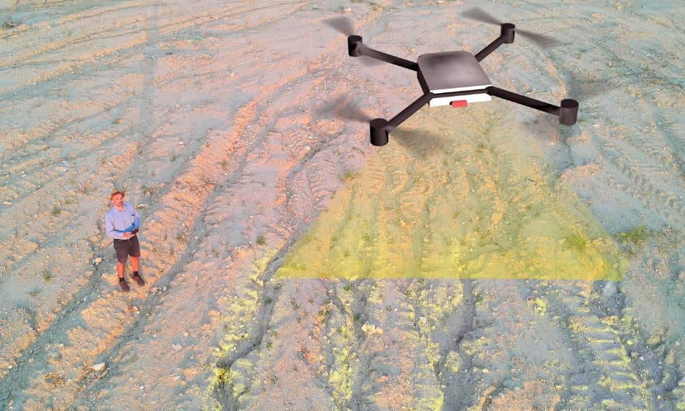
Lidar mapping is becoming one of the biggest changes in how the world measures land. A recent news story showed how a government overseas is now using high-resolution satellite images and Lidar data to update property lines and digitize land records. Even though this is happening outside the United States, the trend affects everyone, including […]
How One Major Project Is Shifting Urban Planning Today
Nashville is growing fast, and the new East-Bank Tennessee Performing Arts Center (TPAC) shows how one project can reshape an entire district. The city recently committed $35.7 million to the roads, sidewalks, and systems around the site. This move is already changing how leaders think about urban planning in the East Bank. It also proves […]
Will New Rules Tighten Standards for Property Surveys?

Nashville is changing fast, and so are the rules that shape how land gets measured and recorded. Property surveys sit at the center of nearly every real estate move—from buying a home to starting a construction project. And now, the Tennessee Board of Examiners for Land Surveyors is reviewing new regulations that could tighten the […]