Drone Surveying Drives the Depaving Revolution

Nashville’s skyline might be full of cranes and new towers, but something quieter is also happening at ground level. Across the city, old parking lots are being torn up and turned into green spaces. This new “depaving” trend—like the one just launched in North Nashville—is changing how engineers, developers, and surveyors plan every square foot […]
Did We Underestimate Soil Testing?
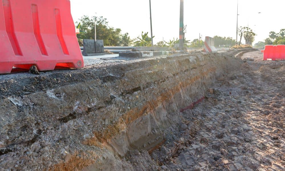
It started with a viral video. A quiet Los Angeles street split open after a water main burst, swallowing a parked car and flooding the neighborhood. Within hours, clips of the “sinkhole scene” spread across the internet. Engineers and city planners across the country began to ask one question: Could this happen here? In fast-growing […]
New Zoning Rules: Why You Need a Property Survey First

Nashville is growing fast, and with that growth comes new rules about how land can be used. Recently, Metro Planning introduced two new zoning categories — Residential Neighborhood (RN) and Residential Limited (RL). These changes are designed to allow more housing options, like duplexes, townhomes, and cottage courts, while still keeping neighborhood character in mind. […]