Are you buying, selling, or developing land in Nashville? If so, a drone surveys could help you save time, money, and avoid costly mistakes.
With Nashville’s growing real estate market and challenging terrain, drone surveys offer a faster, safer, and more accurate way to view and measure property.
What Is a Drone Survey?
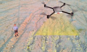
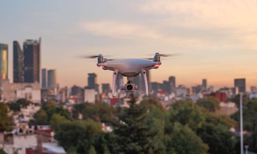
A drone survey uses a flying camera (called a drone) to take pictures and gather data from above. These images are processed into detailed maps and 3D models of your land.
Instead of walking around with measuring tools, the drone flies over your property and captures everything it sees — including elevation, boundaries, and features like trees, buildings, and slopes.
Why Drone Surveys Work So Well in Nashville
Nashville’s land isn’t always easy to walk or measure. We have:
- Rolling hills
- Heavily wooded lots
- Flood zones
- Busy or restricted areas
With a drone, you can:
- Safely survey hard-to-reach spots
- See the full layout of your property from above
- Get accurate results faster than traditional methods
And since Nashville is growing fast, more property buyers and developers are turning to drones for up-to-date, real-world information.
Benefits of Drone Land Surveys
1. Faster Results
Drone surveys take much less time than traditional ones. You could get results in hours or a few days — not weeks.
2. Highly Accurate
Drones use high-resolution cameras and GPS to create detailed images and measurements. You can trust the results.
3. Safer for Survey Teams
No need to walk across steep hills, thick woods, or muddy areas. The drone does the work from the sky.
4. More Affordable
Because it takes less time and fewer people, a drone land survey is often cheaper — especially for larger or harder-to-access properties.
What Can Drone Surveys Show?
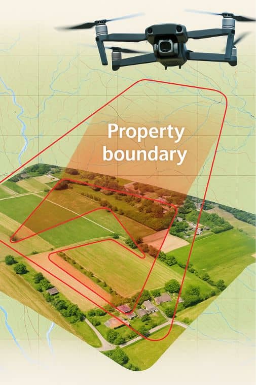
Drone surveys give you a clear look at your property, including:
- Property boundaries
- Topography (the land’s shape and elevation)
- Structures and natural features (like buildings, fences, trees, ponds)
- Flood risks (areas that may collect water during storms)
- Construction progress (track building projects over time)
These results are helpful for buyers, sellers, developers, architects, and builders alike.
How Does a Drone Survey Work?
Here’s what typically happens during a drone survey:
- Planning the flight. The team reviews your property and plans the best flight path.
- Flying the drone. The drone flies over the area, capturing photos and measurements from different angles.
- Processing the data. Software turns the photos into clear maps and 3D models.
- Delivering the report. You’ll get a full report with boundary lines, measurements, and visual insights — in a format that’s easy to understand.
Are Drone Surveys Legal in Nashville?
Yes! Drone surveys are completely legal as long as they follow FAA (Federal Aviation Administration) rules. Our drone pilots strictly follow all FAA Drone Regulations to ensure safe and legal flights throughout Nashville.
- Are licensed and trained
- Follow local Nashville and Tennessee guidelines
- Respect privacy laws
- Get any required flight permissions before starting
Make sure you work with a certified provider who knows the rules.
Why Buyers and Sellers Should Use Drone Surveys
Whether you’re buying or selling, having an accurate land survey is key.
For Buyers:
- Confirm exact property lines
- Spot possible flood zones or encroachments
- Understand the layout before making an offer
For Sellers:
- Show buyers a clear view of the property
- Speed up the sale process with a detailed report
- Avoid last-minute surprises that could delay closing
Choosing the Right Drone Survey Company in Nashville
Here’s what to look for when hiring a drone survey team:
✅ Experience in both surveying and drone technology ensures accurate results.
✅ Advanced equipment and software are used to deliver top-notch services.
✅ In-depth knowledge of Nashville and Tennessee land types helps tailor each survey.
✅ Clear and simple reporting makes it easy to understand the results.
✅ Satisfied clients provide positive reviews and testimonials, reflecting the quality of our work.
A good company should explain everything clearly, answer your questions, and give you full confidence in their work. To learn more about how we conduct precise and reliable drone surveys, visit our Drone Land Survey Services page for detailed information.
How Much Do Drone Surveys Cost?
The cost depends on:
- Size of the property
- Type of land
- Complexity of the job
But in general, drone surveys cost less than traditional surveys, especially for large or uneven properties. Always ask for a quote upfront — a trustworthy company will give you a clear, honest price.
The Future of Land Surveys in Nashville
As drone technology keeps improving, surveys will become even more accurate, faster, and more affordable. In a fast-growing city like Nashville, drone surveys are quickly becoming the new standard for real estate and land development.
Final Thoughts
Drone surveys are changing how we measure land in Nashville. They help us get results faster, more accurately, and without having to go into hard-to-reach areas. Whether you’re buying, selling, or building on land, knowing how drones work can help you avoid mistakes and make better choices about your property.
