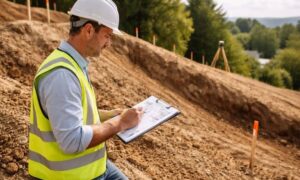
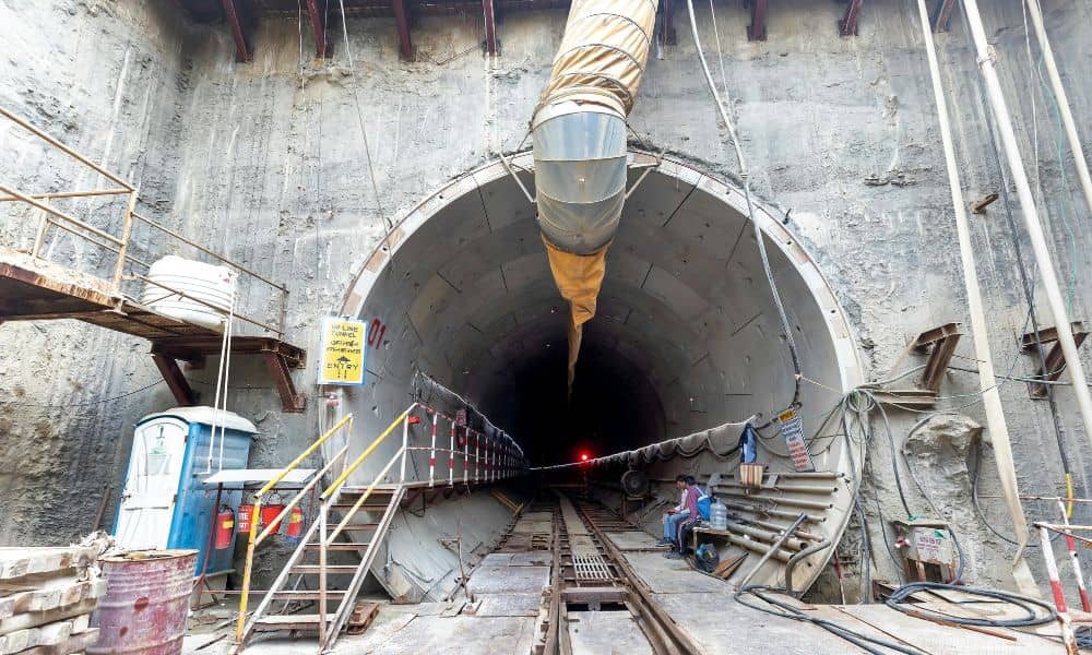
Nashville has a fresh public debate around a proposed tunnel concept that would move people under parts of the city. News stories and city meetings have kept it in the spotlight, and the topic spreads fast on social media because it mixes big promises, public space, and safety concerns. However, the most important part of the story sits underground. Geotechnical engineering often decides whether a tunnel plan stays on track or turns into delays, cost spikes, and angry meetings.
That’s why this debate matters even if you never plan a tunnel. The ground does not care about your timeline. It also does not care about your budget. So, smart teams learn the subsurface early, then they plan for what they might find.
Nashville’s tunnel debate shows why “unknown ground” worries everyone
A tunnel sounds simple in a headline: “faster trips,” “less traffic,” “modern infrastructure.” Yet underground work amplifies risk. Soil changes within a short distance. Rock fractures appear without warning. Groundwater rises after storms. Old fill and buried debris pop up in urban corridors. On top of that, hidden utilities run across the same space a tunnel wants to use.
Because of those realities, geotechnical engineering does more than “test soil.” It protects owners from nasty surprises. It also helps leaders answer the public’s toughest question: “What happens if something goes wrong?”
Lesson 1: Start with the real ground story, not just a few test holes
Many projects drill a few borings, file the report, and move on. That approach fails on complex work. A tunnel needs an actual “ground story” along the entire route. That story should explain the expected soil and rock layers, weak zones, man-made fill, and areas where water might flow.
In plain terms: you can’t price what you don’t understand.
So, owners should ask for an interpretive geotechnical report that reads like a guide, not a data dump. The report should answer questions like:
- What ground conditions do we expect by segment?
- Where do the risks cluster?
- What changes the design if conditions shift?
On mega projects, teams often build a “baseline” for expected ground conditions. That baseline helps everyone share the same starting assumptions. Therefore, it reduces disputes later when the ground surprises the crew.
Lesson 2: Groundwater turns “fast digging” into “slow crawling”
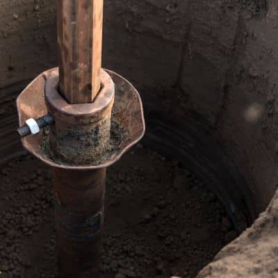
Next comes water. Groundwater can flood work zones, slow excavation, and force major design changes. Even worse, water can carry fine soils into voids, which can trigger settlement at the surface. When crews fight water, schedules slip. Costs jump. Stress rises.
So, geotechnical engineering needs to answer water questions early:
- Where does groundwater sit most of the year?
- How does it respond after heavy rain?
- Where could the tunnel face see high pressure?
- What controls inflow during excavation?
Then, the team needs a monitoring plan. Monitoring turns guesses into facts. It also gives the team time to react before a small problem becomes a shutdown.
Lesson 3: Settlement risk shapes public trust more than any rendering
People fear tunneling because they picture sinkholes, cracked walls, and broken streets. Sometimes the risk stays low. However, teams must prove that with real predictions and real controls.
Settlement means the ground surface drops. Even small movement can damage pavement, pipes, and nearby structures. Vibration can also rattle older buildings and frustrate neighbors.
Smart teams treat settlement like a measurable, manageable risk. They set:
- predicted settlement ranges
- alert levels (“if we see X, we slow down”)
- action plans (“if we see Y, we stabilize the ground”)
As a result, the project gains credibility. People trust a plan that shows numbers, thresholds, and response steps.
Lesson 4: Utilities create the “surprises” that wreck schedules
Now let’s talk about the most common urban headache: utilities.
Utility maps often miss depth, exact locations, and older abandoned lines. A route can look clear on paper and still hit a conflict in the field. One conflict can force redesign, delays, and costly relocations. Also, each relocation can trigger more permits, more coordination, and more public disruption.
So, owners should fund serious utility investigations early. Teams often use subsurface utility engineering (SUE) to locate lines, confirm depths, and reduce uncertainty. This work feels unglamorous, yet it protects the schedule more than any marketing promise.
If you plan a big project, you should assume utilities will fight you unless you prove otherwise.
Lesson 5: Safety planning still depends on the ground
Tunnel safety covers emergency exits, ventilation, fire response, and access for first responders. Those topics show up in public debate because people want reassurance. Yet the subsurface still shapes many safety choices.
For example, unstable ground can force thicker linings or tighter clearances. High groundwater pressure can demand stronger waterproofing and more robust structures. High settlement risk can push slower construction methods and heavier monitoring.
So, safety does not live in a separate box. It connects directly to geotechnical engineering and to the choices the team makes early.
Lesson 6: Environmental review and public confidence need plain language
When a project affects public right-of-way, it also affects public patience. People want transparency. They want clear explanations. They also want proof that the team understands the risks.
Technical reports don’t help if nobody can read them.
Instead, project teams should translate geotechnical engineering into everyday language:
- What did you find underground?
- What could go wrong in the worst case?
- What will you monitor in real time?
- What actions will you take if you see warning signs?
When teams explain the subsurface clearly, they lower fear. At the same time, they raise trust.
What this means for clients who don’t build tunnels
You might read this and think, “I build sites, not tunnels.” However, the same underground risks hit everyday work.
In Nashville, many projects deal with variable soils, mixed fill, storm-driven groundwater swings, and challenging grading. Those conditions can cause:
- building pads that settle
- retaining walls that move
- detention ponds that leak or fail
- roads that crack because the subgrade weakens
- trench work that collapses after heavy rain
So, geotechnical engineering helps you avoid the worst cost: the cost you didn’t plan for.
The simple takeaway: pay for certainty before you pay for fixes
You can spend a little upfront to learn the ground, or you can spend a lot later to fight the ground. If you’ve ever watched a project get hit with surprise costs, it usually started with missing information early on. That’s why many owners begin with a pre-construction site review just to get the basics on the table before design decisions harden.
If you plan a project—whether you design a roadway, a subdivision, or a major commercial site—start geotechnical engineering early. Then, let the findings drive the design, the budget, and the risk plan. As a result, you reduce change orders, protect the timeline, and avoid painful surprises.
In the end, the ground writes the first draft of your project. Learn it early, and you control the story.