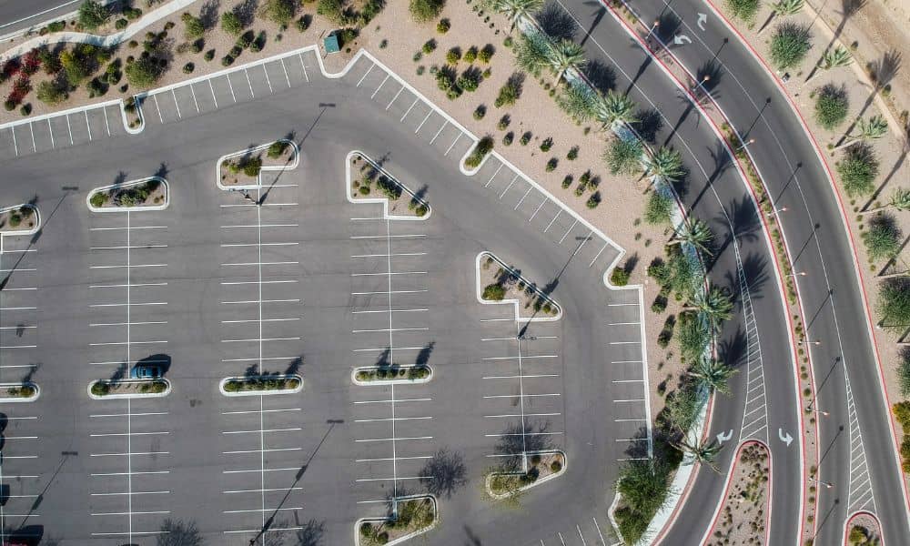
Nashville’s skyline might be full of cranes and new towers, but something quieter is also happening at ground level. Across the city, old parking lots are being torn up and turned into green spaces. This new “depaving” trend—like the one just launched in North Nashville—is changing how engineers, developers, and surveyors plan every square foot of land. And at the heart of this shift is drone surveying.
A New Kind of Site Work
When crews rip up old asphalt, they aren’t just making a mess—they’re changing how the ground behaves. Rainwater that used to bounce off hard pavement now seeps into the soil. That might sound like a small thing, but it changes drainage patterns, slope behavior, and even what kind of plants can grow there.
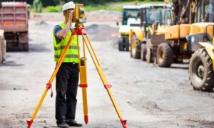
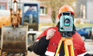
Traditionally, surveyors would walk these sites with tripods, GPS poles, and measuring tools. It worked—but it was slow, especially when projects had tight deadlines or tricky terrain. Today, Nashville teams are using drones to map depaving sites in hours instead of days. The result is faster, cleaner data that helps everyone—from stormwater engineers to landscape designers—see exactly what’s happening below the surface.
Nashville’s Depaving Push
The North Nashville pilot project is part of a growing effort led by Metro Water Services and local environmental groups. Their goal: remove excess pavement, reduce flooding, and bring back native greenery. What began as a small parking lot restoration near a local restaurant is now a model for other neighborhoods.
These projects don’t just make the city prettier—they help with stormwater compliance and urban cooling. Removing asphalt cuts heat buildup, and green spaces soak up runoff during heavy rain. For developers, though, that means one big thing: site data must be more detailed and more frequent.
Why Drone Surveying Fits This Moment
Drone surveying isn’t just about cool tech. It’s about getting the right information, right away. When asphalt comes off, everything underneath changes. Slopes shift, drains clog, and water may collect in places nobody expected. With drone data, surveyors can detect those changes early—long before they turn into construction headaches.
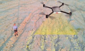
Here’s how it works in simple terms. A licensed land surveyor plans a flight over the site using a drone equipped with a high-resolution camera. The drone captures hundreds of overlapping photos. Software then stitches those images into 3D terrain models that show elevation differences as small as an inch. These maps help engineers redesign grades, drainage routes, and bioswale placements with confidence.
Seeing Change From Above
Depaving isn’t just demolition—it’s transformation. With every layer of pavement removed, the surface tells a new story. Drone maps show that story in color and detail, revealing:
- Where water will flow once the asphalt is gone
- How existing curbs and gutters connect to storm drains
- Which areas may sink or puddle during heavy rain
That level of insight used to take days of manual fieldwork. Now it takes a single drone flight.
Even better, these aerial models let surveyors compare “before” and “after” versions side by side. This is crucial when applying for city approvals or proving that a stormwater retrofit meets Metro’s guidelines.
Helping Nashville Meet Stormwater Standards
Metro Nashville’s Stormwater Management Commission has clear goals: reduce runoff, improve infiltration, and manage urban flooding. Depaving supports all three—but only if the data backs it up. Drone surveying helps developers and engineers deliver that proof.
Every project must submit “as-built” surveys that show the finished ground conditions—how steep each slope is, how deep each rain garden sits, and how much impervious surface remains. Drones can collect that information in record time, so teams can meet submittal deadlines without costly delays.
When combined with Metro’s Parcel Viewer and GIS tools, surveyors can also confirm property boundaries, check flood overlays, and plan exact flight paths before the first shovel hits the ground. That preparation prevents mistakes and keeps construction on schedule.
Less Guesswork, More Collaboration
One of the most underrated benefits of drone surveying is teamwork. Instead of waiting for printed maps, project teams can share 3D models online. Civil engineers, landscape architects, and contractors can mark comments directly on the digital map. Everyone sees the same data—no confusion, no misaligned plans.
This is especially valuable when a site sits near roads, businesses, or homes. Drone images make it easier to explain to property owners how the land will look once the project is finished. That transparency builds trust and reduces complaints during construction.
Working Smarter Around Traffic and Deadlines
Many depaving projects sit on busy corners or near major routes. Sending a crew with poles and tripods into those areas can be risky. Drones, on the other hand, fly safely above the action. Surveyors still follow all FAA rules, including altitude and line-of-sight limits, but they can collect data without stepping into traffic lanes.
Scheduling matters, too. Metro and TDOT release weekly lane-closure reports for Nashville. Experienced surveyors plan their drone flights around those windows to avoid conflicts and capture curb-return elevations accurately. That level of planning keeps projects compliant and efficient.
Data That Delivers
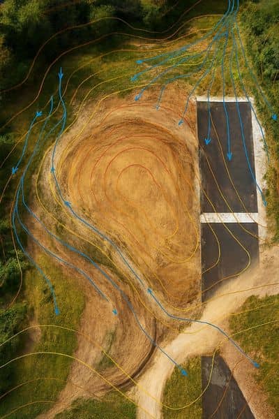
For a depaving site, good data doesn’t just mean pretty pictures. It means accurate measurements that help finish the job right. Modern drone models create layered deliverables:
- Orthomosaic maps for a true-to-scale overhead view
- Elevation contours showing slope direction and runoff flow
- 3D surface models for grading analysis
- Before-and-after impervious area calculations
All of this feeds directly into engineering software, so the same files used for design can support the final stormwater reports.
Building a Greener, Smarter Nashville
Depaving is more than an environmental gesture—it’s a strategy for resilience. Each green lot reduces flooding, cools neighborhoods, and creates healthier soil. As these projects multiply, the demand for accurate, up-to-date surveys will only grow. That’s why drone surveying isn’t a passing trend—it’s becoming a core part of Nashville’s infrastructure toolkit.
For surveyors, it’s an exciting time. For property owners and developers, it’s a chance to align with the city’s sustainability goals while avoiding costly redesigns. Everyone wins when better data meets better design.
The Bottom Line
Nashville’s depaving movement proves that progress doesn’t always mean building more—it can also mean taking away what no longer serves us. Turning asphalt into wetlands, gardens, and parks takes vision, coordination, and solid ground data.
Drone surveying makes that possible. It brings precision to change, helping teams see the unseen and act before small problems become big ones. As Nashville continues to grow and green, drones will keep playing a leading role in shaping what comes next—one flight at a time.
