Middle Tennessee is growing fast. If you drive around Nashville or nearby towns, you see it everywhere. New buildings rise. Roads expand. Neighborhoods stretch into areas that once held open fields. Recently, some communities spoke up about heavy construction and blasting near homes. Whether the concern involves vibration, digging, or large grading work, one thing stands out: fast growth affects more than empty land. It affects the ground itself. And when the ground changes, property lines and drainage can change too. That is why land surveying matters more than ever in Middle Tennessee.
Growth Brings Opportunity — and Change
Nashville continues to attract new businesses and families. Because of that, developers move quickly. They clear land, level soil, and prepare sites for buildings.
However, most homeowners do not think about what happens below the surface.
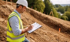
Middle Tennessee sits on limestone rock. Because of this, crews sometimes use blasting or heavy machines to break rock before building. Even when projects follow safety rules, vibrations can travel through the soil. Over time, that movement can loosen or disturb boundary markers.
Property lines do not legally move. Still, the physical markers that show those lines can shift, get buried, or disappear during nearby construction.
That small detail can cause big problems later.
When Construction Happens Next Door
Picture this. A large project starts near your home. You notice trucks and equipment. Then grading begins. The ground shakes a little. Months pass, and the building goes up.
Later, you decide to replace your fence. During the work, someone questions whether the old fence truly sat on the property line. Suddenly, you feel unsure.
If you never had recent land surveying done, you must rely on old markers or guesswork. If those markers moved during construction, you no longer have clear proof of your boundary.
That uncertainty can lead to stress and conflict.
However, if you completed a survey before nearby development began, you would have clear records of your exact property corners and measurements. That record protects you before issues grow.
The Ground Changes More Than You Think
Construction does more than move dirt. It can also change how water flows.
When developers reshape land, they adjust slopes to prepare for buildings. As a result, drainage patterns can shift. Water that once flowed away from your yard may move differently after nearby grading.
In Middle Tennessee, heavy rain makes this even more important. Even small elevation changes can affect foundations, lawns, and driveways.
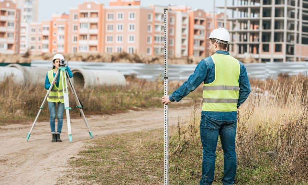
Land surveying records elevation points and slope direction. Because of that, you understand how your property sits before nearby work changes the land.
Instead of guessing, you rely on measured facts.
Land Surveying Helps Homeowners Too
Many people believe land surveying only helps large builders. In truth, homeowners need it just as much, especially in growing areas like Nashville.
As development spreads, land becomes more valuable. Builders use every inch carefully. Contractors follow strict property limits. Utility lines expand into new areas.
In that setting, clear boundaries matter.
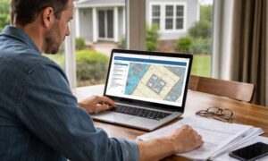
A professional survey confirms your property lines, easements, and the location of improvements like fences and driveways. With that information, you avoid depending on memory or rough estimates.
More importantly, you hold official proof prepared by a licensed expert. That proof makes conversations easier if questions come up later.
Why Documentation Matters
Recent construction concerns in nearby communities remind us of something simple. Even when projects follow rules, nearby homeowners can feel unsure.
If cracks appear, if water drains differently, or if boundary markers vanish, people want answers.
Without a recent survey, proving what existed before construction becomes hard. Old stakes may be gone. Records may be outdated. Memories may not match facts.
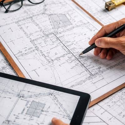
Land surveying creates a clear record at a specific time. It shows where boundaries stood and how the land measured before outside work affected it.
That record brings peace of mind. It also gives strong support if experts need to review the situation.
Accuracy Matters More as Nashville Grows
As Middle Tennessee grows, land values rise. When land becomes more valuable, mistakes cost more.
For example, placing a fence on the wrong side of a boundary may require moving it. Building too close to a setback line can delay permits. Drainage issues caused by unclear grading limits can lead to repairs.
Because of that, accuracy becomes more important.
Land surveying gives you that accuracy.
Instead of reacting after a problem appears, you act early. You confirm boundaries before building. You verify corners before adding improvements. You protect your property before nearby development changes the landscape.
That early step costs far less than fixing disputes later.
Middle Tennessee Will Keep Growing
Growth in Nashville and surrounding counties will continue. New projects will break ground. Roads will expand. Businesses will open.
Growth brings progress. Still, progress changes the land.
As construction moves closer to established neighborhoods, property owners must think ahead. The surface may look the same. Yet below, grading and blasting can change conditions.
Land surveying provides clarity in a changing area. It defines boundaries, records elevations, and creates a reliable snapshot of your property.
Recent construction activity across Middle Tennessee reminds us of one simple truth. Development moves forward. The ground shifts. Neighbors build.
However, your property rights should stay clear and protected.
And that protection begins with professional land surveying.