If you’ve driven through Nashville lately, you’ve probably noticed just how fast the city is changing. New houses, offices, roads, and parks seem to spring up almost every week. With all this growth, construction projects need to keep moving, or delays can quickly become expensive. That’s why many developers and builders are turning to civil engineering solutions in Nashville that use drones. These tools help engineers get a clear view of the land, plan projects more accurately, and make sure work stays on schedule. Drones might look like little toys flying overhead, but for a civil engineer on a site, they’re anything but. They save time, improve accuracy, and help teams make smarter decisions without slowing down the project.
How Civil Engineers Use Drones on Construction Sites
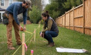
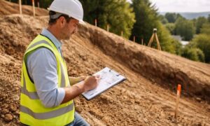
A civil engineer plans and designs the things we use every day—roads, bridges, buildings, and pipes. Before construction begins, engineers need to understand the land, the slopes, drainage, and any obstacles that might get in the way. In the past, this meant hours of walking, measuring, and marking, which could easily slow down a project.
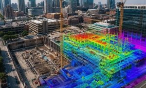
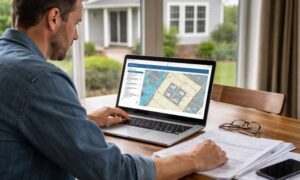
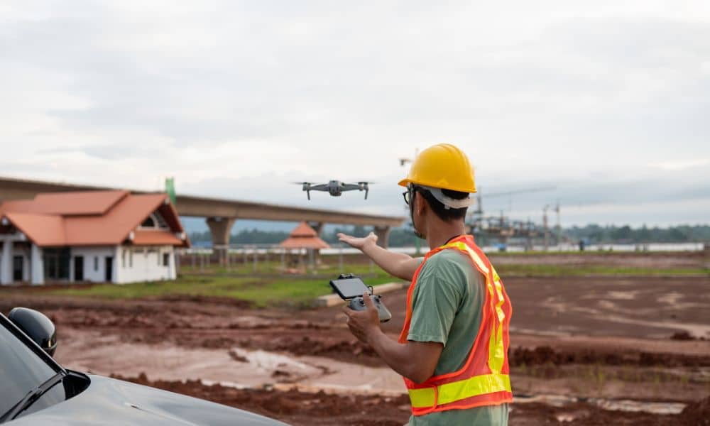
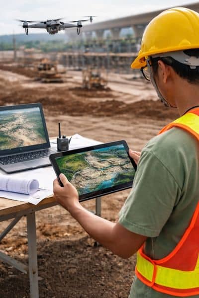
Now, drones have changed the game. By combining modern technology with their land surveying expertise, civil engineers can see a site clearly in just a few hours. Drones fly over the land, capturing detailed photos, measuring distances and heights, and even creating 3D maps. This gives engineers a complete view of the site without having to spend days on foot—and it helps them make smarter decisions from the very start.
Faster Surveys Lead to Smarter Decisions
One big benefit of drones is speed. Before, surveying a site could take days or weeks. Now, drones can do it in just a few hours. The data collected is turned into maps and models that civil engineers can use to plan every step of construction.
Getting this information quickly lets engineers find problems before construction starts. They can see slopes that need fixing, areas that might flood, or obstacles that could slow work. Having this real-time data keeps projects on schedule and avoids expensive mistakes.
Keeping Projects Safe and Cost-Effective
Safety is another reason drones are useful. Instead of sending people into risky areas, drones can fly over and gather all the data safely. This lowers the chance of accidents while still giving engineers what they need.
Drones also save money. Surveys done by hand take time and cost money for labor and equipment. Using drones means projects move faster and fewer mistakes happen. For developers and property owners, this means fewer surprises, lower costs, and projects finished on time.
Real-Time Monitoring Improves Project Outcomes
Construction sites change all the time. Heavy rains, moving soil, or equipment can make the land look different from one day to the next. Drones help civil engineers watch these changes. They can fly to the site weekly, or even daily, and get updated information.
Having current data lets engineers adjust plans quickly. If something is going wrong, they can fix it fast. This keeps construction moving smoothly and helps everyone involved stay on the same page. For clients, this means fewer problems, smoother progress, and confidence that the project will finish on time.
The Future of Drones in Civil Engineering
As technology improves, drones will become even more useful for civil engineers. They are easier to fly, faster at gathering information, and give more accurate data than ever. Soon, drones will be a regular tool on all construction projects.
For developers, property owners, and builders, knowing how drones are used can make a big difference. A civil engineer who uses drones is usually more prepared, more efficient, and better at handling surprises. Projects move faster, stay on budget, and finish on time.
Conclusion
Civil engineers are using drones because they make surveying faster, safer, and more accurate. Drones gather data in hours that once took days. That means fewer delays and smoother work from start to finish. For anyone building a home, office, or subdivision, drones are becoming essential.
Knowing how your civil engineer uses drones can help you make better decisions, stay informed, and feel confident your project will go smoothly. In Nashville’s fast-growing city, drones are no longer extra—they are necessary.