Imagine you’re about to build your dream home or start a new project. You’ve bought the land, made your plans, and hired a contractor. Everything seems ready, but then a neighbor says you can’t go onto part of your property to check the boundaries. Suddenly, you’re stuck and unsure what to do. Getting some professional land survey guidance can help you figure out the true property lines and keep your project moving smoothly. Conflicts over property access happen more often than most people think. They can come up when neighbors disagree about property lines, easements, or shared areas. These disputes can cause delays, stress, and even legal issues. A licensed land surveyor can provide clear, accurate measurements that show the real boundaries and prevent small misunderstandings from turning into bigger problems.
What Is a Property Access Conflict?
A property access conflict happens when someone cannot reach part of their land safely or legally. For example, a neighbor may block entry to a corner of your lot, or there may be disagreement over a shared driveway. In Tennessee, these conflicts can be tricky because of zoning rules, easements, and property laws.
Without help, property owners might try to solve these issues themselves. They might move fences, mark lines wrong, or guess boundaries. These quick fixes can make the problem worse. That is why a licensed land surveyor is important—they give legal, accurate, and trusted measurements.
How a Licensed Land Surveyor Helps

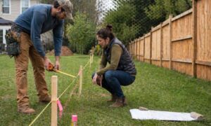
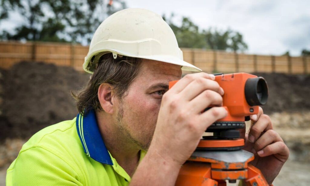
A licensed land surveyor knows how to measure land correctly, read property descriptions, and follow local rules. When there’s a dispute over property access, they go to the site to see the boundaries for themselves and clarify what belongs to you and what might be shared. Using tools like GPS and laser scanners, they carefully take property line measurements and create simple, clear maps and reports that show buildings, fences, and other features. These documents help everyone understand the property lines and can even be used in court if needed, keeping things straightforward and avoiding confusion.
Steps Surveyors Take When Access Is Denied
Sometimes, neighbors refuse access, or parts of the land are hard to reach. In these cases, a licensed land surveyor works carefully to protect both the owner and themselves. They start by talking to the neighbor and explaining why the survey is needed.
If entry is still denied, surveyors write down the situation carefully. They may measure from allowed areas or public spaces to get accurate results. The goal is to make a survey without breaking any laws. This keeps everyone safe, avoids fights, and gives legal proof of property lines.
Common Mistakes Property Owners Make
Many property owners do not see the need for a professional surveyor. They might mark boundaries themselves, use old surveys, or trust informal agreements with neighbors. These actions can cause serious problems. DIY methods often make wrong lines, fights, and expensive corrections later.
Social media shows these problems clearly. Videos of neighbors arguing over property lines in Tennessee go viral. They show why a professional is needed. A licensed land surveyor makes sure boundaries are clear and problems do not get worse.
Protecting Yourself Before a Conflict
It is easier to stop a property access conflict than fix one. The best step is to hire a licensed land surveyor early. Whether you are building a home, putting up a fence, or starting a project, a survey shows everyone the boundaries.
When hiring a surveyor, check their license and insurance in Tennessee. Ask about their experience with property access conflicts. A good surveyor will guide you, talk with neighbors, and make accurate, legal maps.
Why This Matters for Property Owners
Property access conflicts can delay projects, make neighbors upset, and even cause legal action. Tennessee laws about easements, property lines, and entry rights make a licensed land surveyor not just smart, but often needed.
A professional survey gives property owners confidence in their lines, prevents mistakes, and keeps projects moving smoothly. It also gives peace of mind knowing rights are documented and legal.
Conclusion
Property access conflicts are stressful, but they do not have to stop your plans. A licensed land surveyor makes sure boundaries are correct, prevents fights, and protects your investment. Whether building a home, starting a project, or managing land, a licensed surveyor helps keep everything on track.