Just Hired a Land Surveyor? Keep Survey Markings Accurate
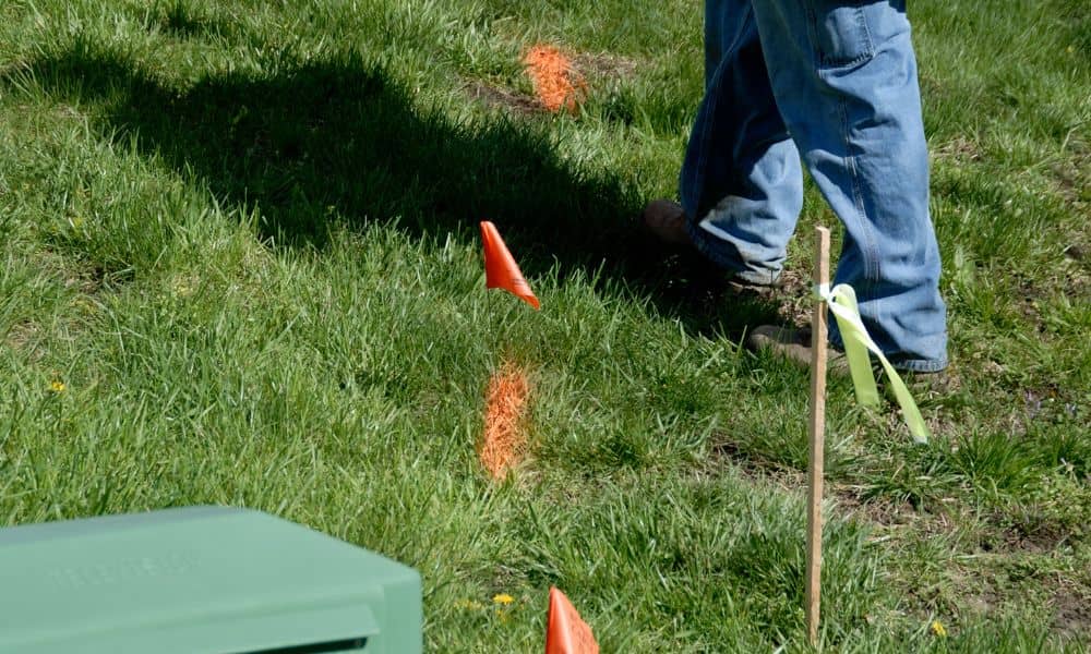
You finally did it. After searching for a land surveyor near me, making a few calls, and waiting for the appointment, the crew arrived, measured your property, and placed flags and stakes around your yard. At first, everything looked clear. Then a new worry started creeping in. What if the flags blow away? What if […]
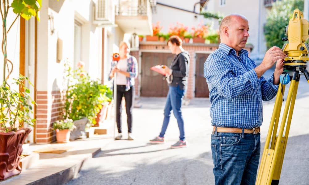
LiDAR Mapping Signals From Infrastructure Projects

Nashville keeps growing. New roads, safety upgrades, and public projects appear across the city every year. While most people notice what gets built, fewer notice how these projects get planned. Behind the scenes, better land data now guides many public decisions. That change sends a clear message to private developers, engineers, and property owners across […]
How to Use an Elevation Certificate to Lower Flood Insurance
If you own an older home and pay flood insurance, you may have asked this question already: Why is my premium so high when my house has never flooded? You are not alone. Many long-time homeowners face rising flood insurance costs that feel disconnected from reality. In many cases, the issue is not your home. […]