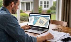

If you’re planning a new build or major remodel, you need to think about an alta title survey before putting the first shovel in the ground. With new zoning changes reshaping what and where people can build, your survey might need more than a quick update. These local reforms aren’t just city planning news—they directly affect how developers, lenders, and property owners prepare for construction.
Zoning Changes Are More Than Just Paperwork
Nashville is adjusting zoning rules to allow denser projects and more flexible land use. While that may sound like a win for builders, it also means existing property records may no longer match what’s allowed on-site. When your lot shifts from single-family or light industrial to mixed-use or multifamily, every line on your map suddenly matters.
Setbacks, height limits, and drainage requirements often change with new zoning. A standard boundary survey may no longer give enough detail to satisfy your lender, architect, or city reviewer. That’s where an ALTA Title Survey becomes your best tool—it verifies the property’s exact boundaries, rights-of-way, and any easements that could block your plans.
When Zoning Moves, Surveys Must Follow
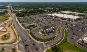
Let’s say you own a small commercial lot just outside downtown. Under the old rules, you could only build a one-story office. Now, zoning allows three stories of mixed-use space. Sounds great—until you discover a drainage easement cuts right through the area you wanted to expand.
If your survey hasn’t been updated, you might not even know it’s there. An ALTA Title Survey maps every restriction tied to your title, helping you design within the legal boundaries of your land. It’s not just about drawing lines—it’s about seeing the invisible barriers that can cost you permits, time, and thousands in redesigns.
Why Developers Are Updating Surveys Now
Zoning updates don’t just change what’s possible; they create a surge in project activity. When demand spikes, surveyors get booked out for weeks. Waiting until your plans are ready to submit could leave your project sitting idle.
By ordering a survey early, you can uncover hidden issues before they become roadblocks. You’ll also stay ahead of lenders who often require fresh ALTA surveys after a zoning reclassification. They want assurance that the title data they’re financing matches the new land use and that no easements or encroachments will create risk.
How This Plays Out in Real Life
Picture a developer who buys an old warehouse property that just got rezoned for mixed-use. The idea is to convert it into retail and apartments. But once the new survey comes in, it reveals an underground utility easement cutting across the parking area. Without catching that early, construction would have started on a no-build zone.
Because the team ordered an ALTA Title Survey during design, they adjusted the layout before permits were filed. No delays, no fines—just a smoother path from design to approval. That’s how the right survey protects your timeline and your budget.
What’s Inside an Updated ALTA Title Survey

An ALTA survey isn’t just a boundary sketch. It includes physical and legal details that directly affect construction, such as:
- Easements and access rights that limit where you can build.
- Encroachments like fences, driveways, or retaining walls crossing property lines.
- Rights-of-way for utilities or shared driveways.
- Building footprints and setbacks as defined by current zoning.
- Elevations and drainage features tied to flood or stormwater compliance.
These elements give your design team, lender, and city reviewers a shared, accurate picture of your property. And in a market changing as fast as Nashville’s, that clarity is worth more than ever.
Stormwater and Flood Zones: The Hidden Factor
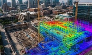
When zoning allows more density, it often increases hard surfaces—pavement, roofs, and driveways—that can change how water flows through a site. Nashville’s flood and stormwater rules require detailed elevation data to prove your design won’t cause runoff problems.
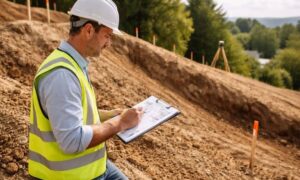
An ALTA Title Survey with updated topographic data ensures those elevation and drainage details are documented early. It’s not just a paperwork formality; it’s a proactive step that can prevent rejection during stormwater review.
Stay Ahead: How to Time Your Survey Right
If you suspect your property will be affected by zoning reform, don’t wait for official approval to start your survey process. Here’s a smart sequence many builders follow:
- Gather your deed, old plats, and title commitment.
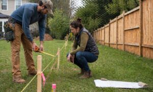
- Reach out to a licensed land surveyor familiar with ALTA standards.
- Discuss how the new zoning may affect your property lines or easements.
- Get your survey completed before submitting plans to your architect or lender.
This order saves weeks of waiting once the new rules kick in and positions your project to move quickly once permits open.
Why This Moment Matters
Every zoning update reshapes Nashville’s skyline and opportunity map. But for developers, the change is more than a headline—it’s a reminder to double-check what your land truly allows. An outdated survey can’t tell the full story anymore.
The ALTA Title Survey bridges the gap between your vision and the city’s evolving regulations. It shows exactly what’s possible, what’s restricted, and what must be designed around. In a city where every square foot counts, that clarity gives you a real edge.
Final Thoughts
Nashville’s zoning shift is rewriting how and where projects take shape. The smartest move any builder or investor can make is to align their site data with the new rules. An updated alta title survey gives you that alignment—turning uncertainty into confidence before you break ground.
Before you finalize drawings or loan terms, make sure your survey matches today’s Nashville, not last year’s map. The small step of updating it now could be what keeps your next project on schedule and on solid ground.