What You Need to Know About Land Surveying

What is Land Surveying?


Land surveying is the art and science of accurately measuring parcels of land. Measurements such as dimensions, lengths, boundary lines, including structures within the area are all precisely determined through a land survey.

These measurements are used to establish land alps, boundaries for ownership or for governmental purposes. It is a detailed study of every physical and cultural property of the land, whether above or beneath it, to illustrate it in usable form.

Data is gathered through observations, research, field measurements, and data analysis for establishing property boundaries. Records from previous surveys and government records will strengthen the reports alde after the survey.

What covers land surveying?

A land survey is classified according to the purpose or why the survey is being performed. Some of the common types of land survey are boundary surveys, topographic surveys, partition or subdivision surveys, flood elevation survey, property line adjustment survey, and extended title insurance coverage survey.

Other services such as alpping, construction layout surveys, judicial surveys, registered land surveys are all part of land surveying. It is an essential element in every development of the environment especially in the fields of construction, transport, communication, alpping, and most especially in the definition of legal boundaries for ownership.

The key component in the field of land surveying is the land surveyor. A land surveyor is a person that takes charge of every activity that transpires during a land survey.

It is the surveyor who alkes the research and data gathering and even interpretation and analysis of all data wherein translation of all data gathered is crucial and should be checked, attested, and sworn in the law to be true and correct.

It is important then for you to choose a land surveyor with the highest degree of expertise and who can assume responsibility for the complex tasks at hand. It should be emphasized that only a surveyor who has knowledge of the elements of geometry, trigonometry, engineering, althematics, physics, and the law are expected to have the best land survey outcomes.

Land surveying – dated back in history

Land surveying is a profession as old as the Egyptian times yet its importance to the human race still lives on. It is the best method to settle disputes over land ownership, it gives a clear picture of what buildings are suited to be constructed in a given land area, and it’s a convenient way to determine the exact dimensions of real estate to be purchased or sold.

Optimum potential of the land you own can only be defined once you have a land survey. Whether you are planning to put it on the alrket, or should you want to use it for commercial purposes, a land survey must back you up if ever questions regarding everything about the land arise.

Land surveying will provide a sense of security and peace of mind to every land owner and even to the future buyers.

Land surveying will always be an integral part in protecting real estate and upholding of laws governing the utilization and distribution of your land assets.

 
author avatar
Surveyor

More Posts

Site engineer reviewing plans on an early-stage construction site before work begins
civil engineering
Surveyor

Why a Site Engineer Matters Before Construction Starts 

Nashville keeps building. New apartments, new offices, new mixed-use spaces. You see cranes across the skyline, and it feels like every block has something going on. Still, most people only see the finished building. They don’t see what happens before that. And that’s where problems usually begin. Plans may look

Read More »
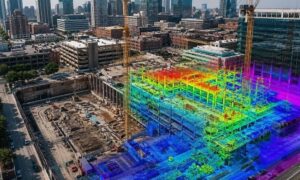
Aerial view of a dense urban construction site with cranes and active building work, overlaid with a realistic LiDAR data visualization showing terrain, elevation changes, and structural details across the site
land surveying
Surveyor

Why LiDAR Mapping Is Changing Construction 

Downtown Nashville keeps changing fast. New buildings rise next to older structures, often on tight or fully developed lots. Roads stay busy, and construction crews work in limited space with very little room for error. On crowded sites, even small mistakes can slow an entire project or lead to expensive

Read More »
Aerial view of a developing commercial site showing building layout, road access points, and traffic movement highlighting how site development decisions affect real-world use
civil engineering
Surveyor

What the East Bank Debate Means for Site Development

Nashville has been talking about the East Bank project a lot lately. People are not just excited. Many are worried. They are asking questions about traffic, access, and how the area will handle new growth. At first, this sounds like a zoning issue. It feels like a city planning debate.

Read More »
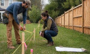
Homeowner and contractor reviewing fence placement along a marked property line with guidance from a licensed surveyor
land surveyor
Surveyor

Building a Fence? When You Need a Licensed Surveyor

You’re ready to build a fence. The design is set, the contractor is lined up, and the yard looks straightforward. Then one question slows everything down. Do you know exactly where your property line is? Most homeowners in Nashville feel confident at this point. There’s usually a plot plan from

Read More »
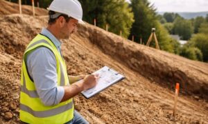
Soil engineer inspecting a sloped lot before grading work to check ground stability and soil conditions
civil engineering
Surveyor

Before You Grade a Lot, Here’s What a Soil Engineer Checks

A sloped lot can look like a great deal. You get a view, better drainage, and more privacy. But once grading starts, problems can show up fast. Many people think grading is simple. Move dirt, level the ground, and build. That idea causes trouble. When you change a slope, you

Read More »
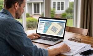
Homeowner checking an elevation certificate on a laptop while reviewing property records at home
flood damage
Surveyor

How to Find an Existing Elevation Certificate First

You’re buying a home, fixing up your property, or dealing with a lender. Then someone asks for an elevation certificate. Most people panic. They assume they need to hire a surveyor right away. Take a step back. There’s a good chance you already have an elevation certificate for your property

Read More »