When news broke that a homeowner’s yard had suddenly collapsed, neighbors feared the worst: a sinkhole. But city officials quickly explained that it wasn’t a sinkhole at all—it was a failed stormwater pipe buried under an easement. This story hit close to home for many residents. It also highlights a simple truth: a boundary survey could have revealed the risk long before the collapse happened.
In real estate, what you don’t see can hurt you. Pipes, drainage lines, and utility corridors may not show up during a casual walk-through, but they live on your property’s legal documents. That’s where surveys come in—and why skipping one can turn into a costly mistake.
The Difference Between Sinkholes and Easements
Metro Water Services clarified that the hole wasn’t caused by natural ground failure. Instead, an old stormwater pipe beneath the yard gave way. That pipe ran through an easement, which is basically a reserved space on private land where the city or utility company has legal access.
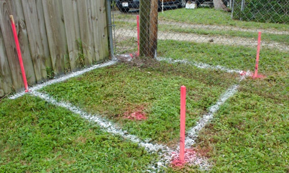
Most homeowners don’t think much about easements until something goes wrong. But a boundary survey shows them right on the map. In this case, the easement would have been visible on the plat, warning the buyer that their yard wasn’t entirely theirs to use however they wanted.
What a Boundary Survey Really Does
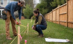
People often assume a survey is just about property lines. While that’s true, a good boundary survey does more. It identifies encroachments, setbacks, and easements recorded against the land. It answers key questions:
- Where exactly does my property end?
- Are there drainage or utility corridors running through it?
- Can I build where I want, or are parts of my yard off-limits?
For homeowners, this information prevents surprises. For developers, it protects investments by flagging legal and design risks before construction begins.
Why Easements Matter More Than You Think
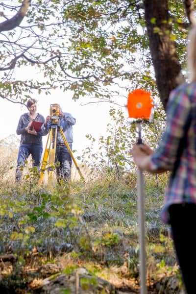
Easements exist for a reason. Drainage easements give stormwater somewhere to go during heavy rain. Utility easements provide access for power lines, gas pipes, or fiber internet. They are like invisible rules printed on the land.
The problem? Many buyers and even some contractors overlook them. You can landscape over an easement, but if you build something permanent—a shed, fence, or even a driveway—there’s a chance it could be removed if the city needs access. Worse, you may not be allowed to build there at all.
In Nashville, aging infrastructure adds another layer of risk. Stormwater systems built decades ago may not meet today’s standards. Pipes are undersized, easement widths are too narrow, and failures can happen without warning. A survey is one of the only ways to see those red flags before signing the dotted line.
How Standards Come Into Play
Metro Nashville has clear stormwater rules. Easements must be wide enough to handle both the pipe and future maintenance. However, many older neighborhoods were built before these standards existed. That means homeowners could inherit undersized or poorly placed infrastructure without realizing it.
The recent collapse is a perfect example. The pipe didn’t fail overnight—it weakened over time. A boundary survey would have shown the easement crossing the property. That detail alone could have pushed the buyer to ask more questions: What’s under there? How old is it? Who maintains it?
Those questions are exactly what protect you from expensive repairs.
A Quick Way to Screen for Easements
If you live in Nashville, you don’t need to be an expert to do a basic check. The Metro Parcel Viewer lets you search your address and turn on layers that display zoning, flood maps, and sometimes easements. You can also pull your plat from the Register of Deeds.
But here’s the catch: online maps are helpful, yet they’re not always complete. Easements can be missing or mislabeled. That’s why a boundary survey from a licensed professional is so important. It confirms what’s official, not just what’s convenient to find online.
Lessons for Homebuyers and Developers
This story isn’t just about one unlucky homeowner. It’s a warning for anyone buying or building. Here’s what we can take away:
- Always check for easements. They may not affect your daily life, but they can limit what you build and expose you to risks.
- Understand what you’re seeing. A pipe failure isn’t a sinkhole. Knowing the difference helps you respond correctly.
- Factor in Nashville’s growth. With rapid development, stormwater systems are under pressure. Properties with easements may be more vulnerable to future upgrades or repairs.
These lessons apply to everyone—from a family buying their first home to a developer planning a multi-lot subdivision.
When You Need More Than DIY Research
It’s tempting to rely on public tools and call it a day. But if you’re planning a major purchase, renovation, or new construction, it’s not enough. A licensed land surveyor provides a detailed, stamped survey that lenders, title companies, and city officials trust.
Think of it this way: the cost of a boundary survey is minor compared to the thousands—or even tens of thousands—you might lose if your yard collapses, your fence gets removed, or your pool permit gets denied.
The Bottom Line
The collapsed yard wasn’t just bad luck. It was a reminder that land holds secrets, and easements are one of the biggest. A boundary survey is the tool that uncovers them before they cause trouble.
If you’re buying, building, or renovating, don’t leave it to chance. Do your quick research online, but then take the extra step. A professional survey can save you from the next big disaster—and give you peace of mind that your property is truly safe to enjoy.